
The Caribbean We Build
Manga, Cartagena: a neighborhood guide for living there
 Reference image
Some neighborhoods you visit and some you live in. The difference is not on the map: it is in what happens on an ordinary Tuesday at seven in the morning, when the city gets going and you can still walk out for a coffee without feeling like a visitor.
Manga is the second kind. This guide is not a tourist list: it brings together what is known about the neighborhood’s history, what is around it, how long it takes to get to the places that matter and what to ask yourself before deciding whether it is your place in Cartagena.
An island with neighborhood life
Manga is an island across from Getsemaní, joined to the rest of Cartagena by bridges. At the start of the 20th century, around 1903 and 1904, General Dionisio Jiménez drove its development: he laid out Calle Real and Avenida Jiménez and handed them over to the city. Before that, according to the neighborhood’s historical records, it was a hamlet of coconut, plum and cashew trees where farmers and fishermen lived.
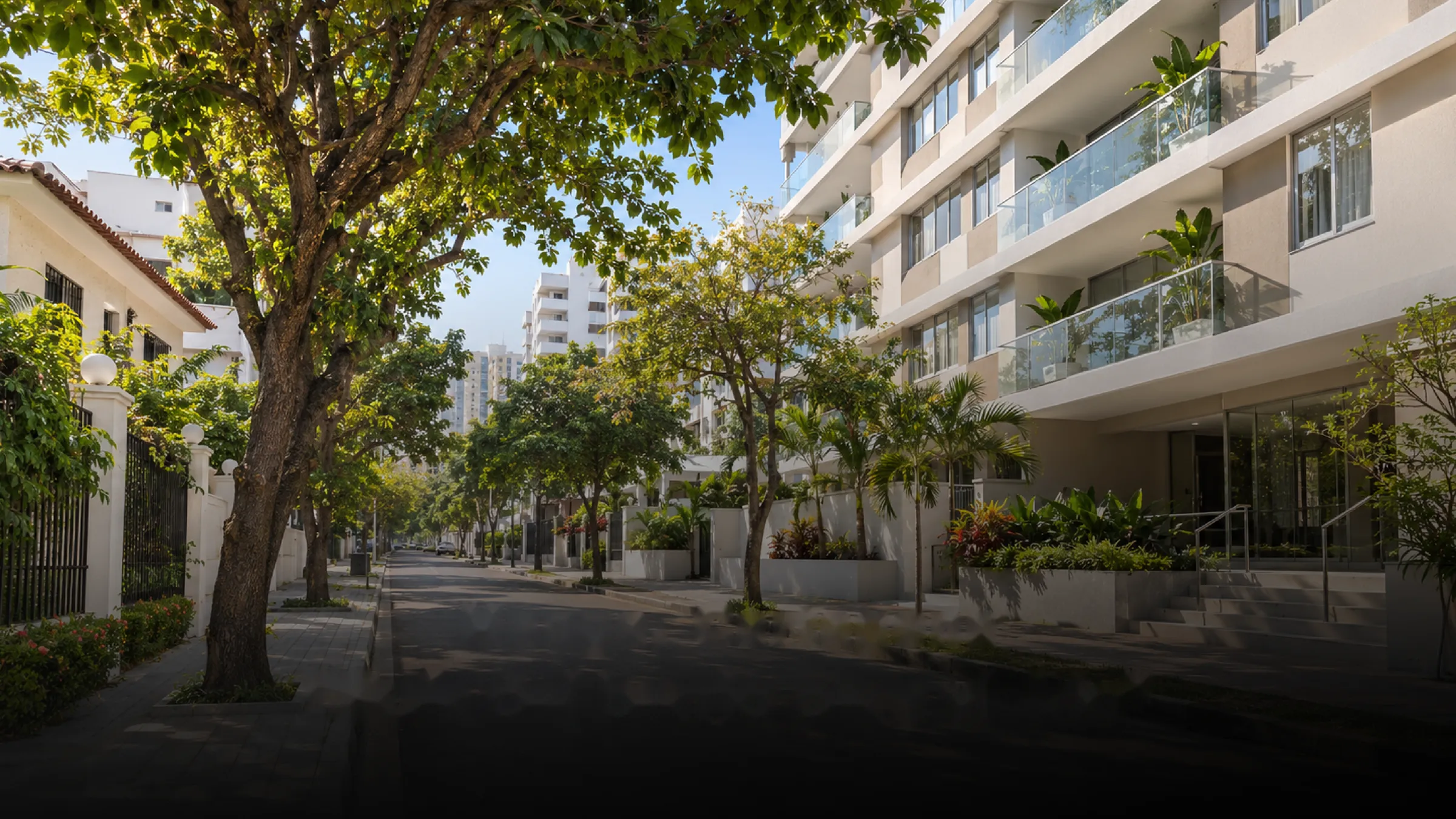
That history explains something you notice when you walk it: Manga does not look like a new development on the outskirts. It is a neighborhood with its own street plan, streets that were already there and real neighborhood life.
Architecture with character
Republican-era and neoclassical mansions from the early 20th century, some with Mudéjar influence, stand alongside contemporary buildings. That mix gives the neighborhood a texture that cannot be built overnight.
The bay and the Fort of San Sebastián del Pastelillo
The Fort of San Sebastián del Pastelillo was built in 1743, on the orders of Viceroy Sebastián de Eslava, after Vernon’s attack. It is a national Asset of Cultural Interest and part of the UNESCO-listed site. Since 1944 the Club de Pesca de Cartagena has been its custodian, and its marina and restaurant operate there.
It is a good example of what living near the bay means: the water and the history are part of the everyday landscape, not a weekend plan.
Everyday life
A neighborhood is measured by what it solves without complicating your day. These are the drive times from Ítaca Tower to a few reference destinations:
| Destination | Drive time | Where it is |
|---|---|---|
| Clínica Cartagena del Mar | 8 min | Manga (Cl. 26 #22-25) |
| Bocagrande | 12 min | Bocagrande Plaza (Cra. 1 #12-118) |
| Colegio Salesiano San Pedro Claver | 16 min | Old City (San Diego) |
| Old City | 8 min | Clock Tower (Torre del Reloj) |
| Rafael Núñez Airport | 22 min | Crespo, Cartagena |
Times measured on Google Maps, by car from Ítaca Tower, on Tuesday, November 3, 2026 at 12:00 p.m. (Cartagena time), with the traffic at that moment. They change with the time and the day.
These are reference times, not a promise: Cartagena traffic changes with the hour, the day and the season. That is why it is worth measuring them on your own schedule.
Who Manga works for
- For people who want to stop feeling like visitors in Cartagena and have a place to come back to, in a neighborhood that already works.
- For families looking for schools, health services and calm without moving away from the city.
- For people who live between cities and need every return to start without complications.
- For people comparing areas who want to understand the difference between an established neighborhood and a new development. If that is you, our guide on comparing housing projects beyond the price per square meter will help.
What to ask before deciding
- What is my usual route like at my real times, not the daily average?
- Which services do I need within walking distance and which by car?
- How does the street feel by day, at night and on weekends?
- How much of what I am looking for depends on the neighborhood and how much on the building?
The best way to answer them is to walk the neighborhood. Do it on a weekday and on a weekend, at the times you would actually use it.
Ítaca Tower, a place in Manga
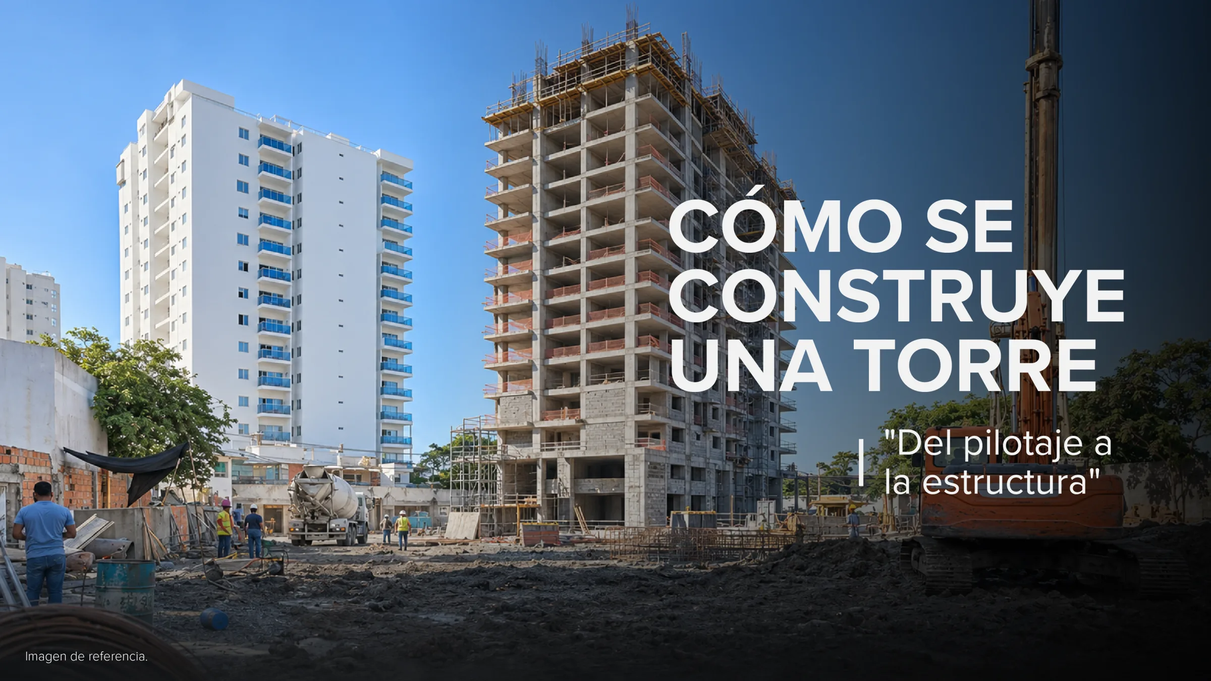
Ítaca Tower is Mejía Villegas’s project in Manga: three layouts of 81, 100 and 104 m² (872, 1,076 and 1,119 sq ft) built area, in a tower that is already under construction. It is a way to have a place of your own in a Cartagena that is lived every day. To understand what happens at each stage of the work, read how a tower is built.
Frequently asked questions
Is Manga an island?
Yes. Manga is an island across from Getsemaní, joined to the rest of Cartagena by bridges, and one of the city’s traditional residential neighborhoods.
What is the Fort of San Sebastián del Pastelillo?
A 1743 fortification on the bay, a national Asset of Cultural Interest, in the custody of the Club de Pesca de Cartagena since 1944.
How long does it take to get to the airport from Manga?
From Ítaca Tower, about 22 minutes by car, measured on Google Maps on November 3, 2026 at 12:00 p.m.
Is Manga a residential neighborhood?
Yes. It is a residential neighborhood with architecture from different eras, close to the bay and the Old City.
Sources
- Semana (2024): historic neighborhood of Cartagena, architecture and tranquility.
- Barrios del Caribe (2013), citing the Nomenclátor Cartagenero by Donaldo Bossa Herazo.
- Fundación Gabo, Beca Gabo: Republican and Mudéjar heritage in Cartagena.
- Centro Virtual Cervantes: Fort of San Sebastián del Pastelillo.
- El Universal (Oct 15, 2020): Fort of San Sebastián del Pastelillo and Club de Pesca.
- El Colombiano (2021) and El Tiempo (2021): heritage status and custody of the fort.
- Official websites of Clínica Cartagena del Mar and Colegio Salesiano San Pedro Claver.